Blaeu, Joan
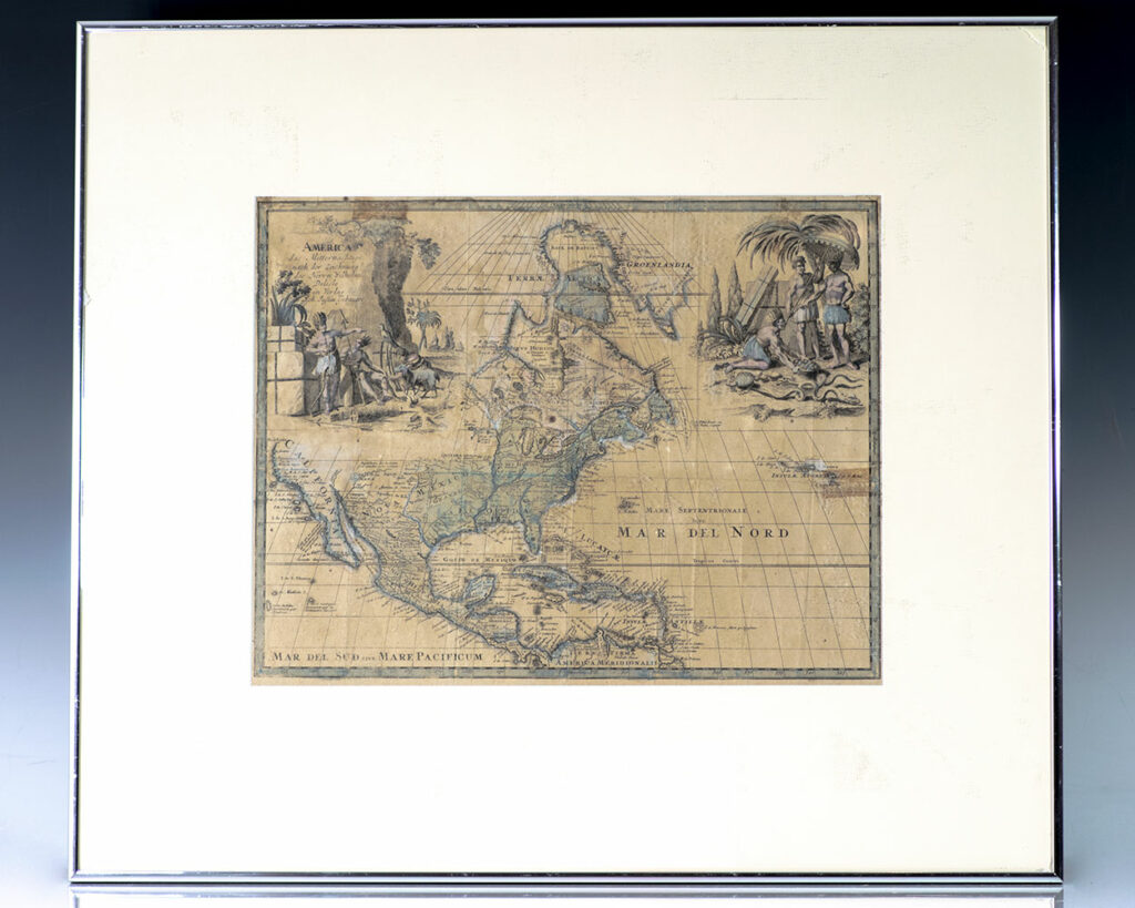
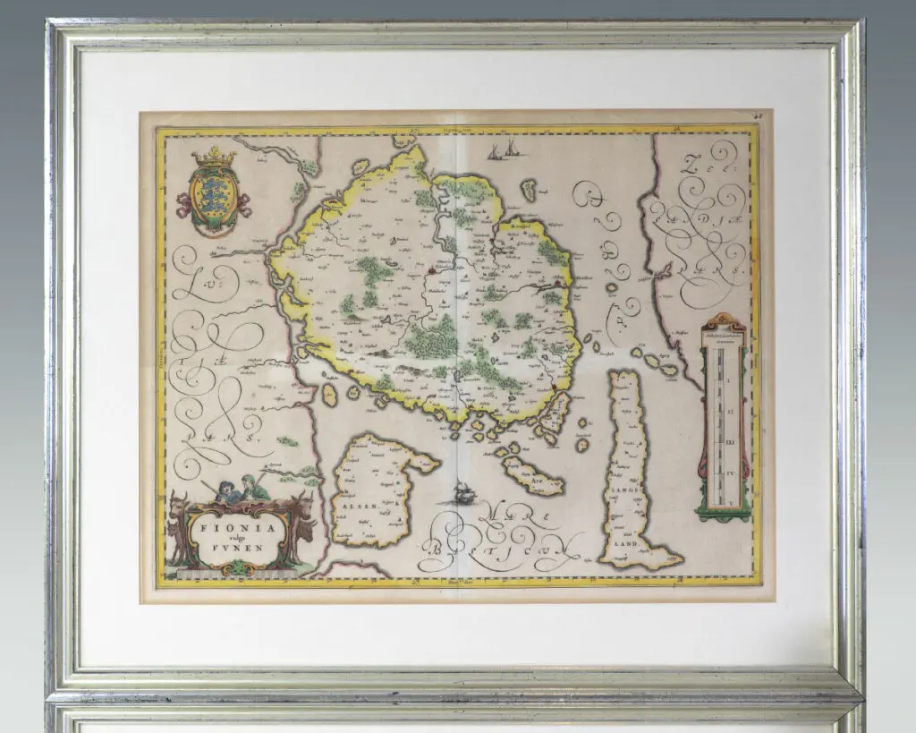
Fionia vulgo Funen. [Seventeenth Century Joan Blaeu Map of Funen].
[Amsterdam] c. 1645.
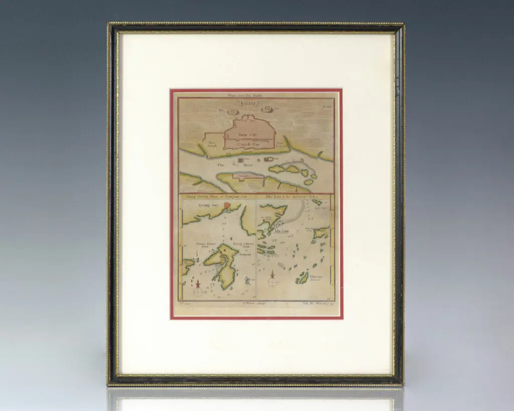
Large seventeenth century hand-colored map of the Danish island of Funen by renowned Dutch cartographer Joan Blaeu. One page, hand-colored with two decorative cartouches. In near fine condition. Matted and framed. The entire piece measures 26.5 by 22 inches.
Read more$650.00
Item Number: RRB-137508