Vandermaelen, Philippe Marie
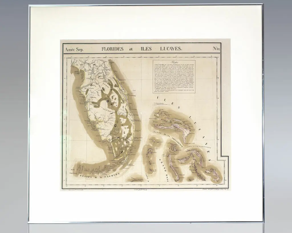
Amérique Septentrionale. Florides et Iles Lucayes. No. 62. [Map of Florida and the Bahamas].
Brussels : Lithographed by H. Ode, 1825.
Rare hand-colored lithograph map of South Florida, the Keys and the Bahamas from renowned 19th century Belgian cartographer Philippe Vandermaelen’s Atlas Universel. One page, the map displays South Florida and the Bahamas including major cities as of 1825 with numerous Native American trails and roads recorded and an inset text regarding the flora and faunaContinue reading "Amérique Septentrionale. Florides et Iles Lucayes. No. 62. [Map of Florida and the Bahamas]."
Read more$1,250.00
Item Number: RRB-137108